


GeoMapper Pro is the most advanced, user-friendly mapping tool designed specifically for national infrastructure management and petroleum operations. Experience enterprise-grade performance with intuitive simplicity.
Revolutionary Mapping Solution for Governments & Petroleum Enterprises
Powerful Features for Complex Operations
Our tool combines advanced GIS capabilities with an interface so intuitive that anyone can master it with minimal training.
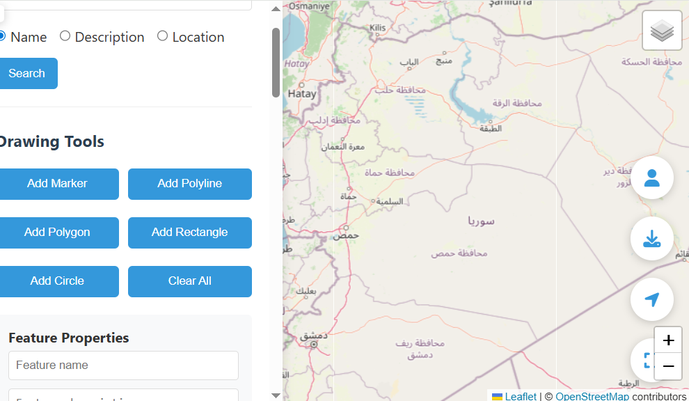
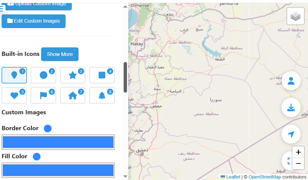
Advanced Drawing Tools
Create precise markers, polylines, polygons, rectangles, and circles with customizable styles and properties.
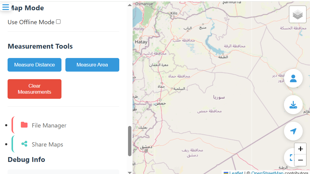
Precision Measurement
Accurately measure distances and areas for planning pipelines, infrastructure, and resource allocation.
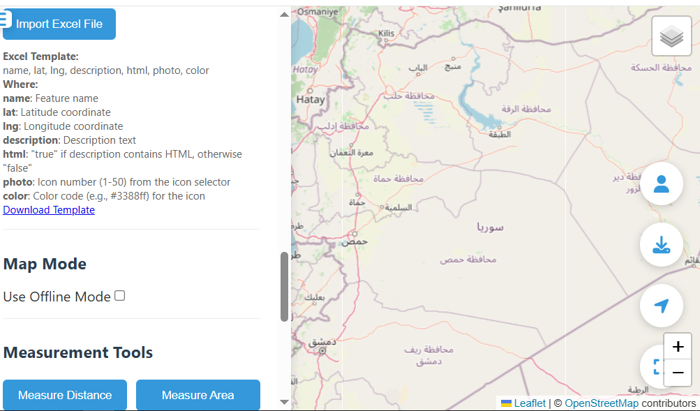
Excel Integration
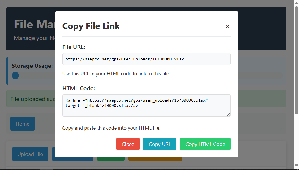
Import thousands of coordinates and attributes directly from Excel spreadsheets with our simple template.
Database Management
Save, load, and manage all your mapping data securely with advanced database functionality.
Multiple Export Options
Export your maps as GeoJSON, KML, or high-resolution PNG files for reports and presentations.
Online & Offline Mode
Work seamlessly with online maps or switch to offline mode for remote operations without internet.
Enterprise-Grade Applications
Complete National Infrastructure Management
GeoMapper Pro enables government ministries to efficiently plan, monitor, and manage national infrastructure projects with unprecedented precision.
- Coordinate multiple ministry projects on a unified platform
- Track infrastructure development across regions
- Plan urban development and zoning regulations
- Manage natural resources and environmental protection
- Emergency response planning and disaster management
With our system, any ministry employee can create detailed maps without specialized GIS training, saving time and resources while improving accuracy.
Comprehensive Petroleum Operations Management
From exploration to distribution, GeoMapper Pro provides the mapping capabilities needed for efficient petroleum operations in any environment.
- Plan and monitor underwater pipeline routes
- Manage desert oil field operations
- Track drilling sites and extraction points
- Coordinate logistics and transportation networks
- Environmental impact assessment and monitoring
Our tool’s offline capabilities make it ideal for remote petroleum operations where internet connectivity is limited or unavailable.
Strategic Infrastructure Planning
Plan and visualize complex infrastructure projects with precision using our advanced mapping tools.
- Road and highway network planning
- Utility line mapping (water, electricity, telecom)
- Urban development and zoning plans
- Agricultural land management
- Tourism and heritage site mapping
The intuitive interface allows planners at all levels to contribute to infrastructure projects without extensive technical training.
Simple, Transparent Pricing
Country/Corporate License
Complete system ownership for nations or global corporations
- Full system source code
GeoMapper Pro in Action
See how our solution is transforming mapping operations worldwide
See GeoMapper Pro in Action
Watch our tutorial to learn how GeoMapper Pro can transform your mapping operations
Ready to Transform Your Mapping Operations?
Start Your 3-Day Free Trial NowNo credit card required • No email verification • Full access to all features